

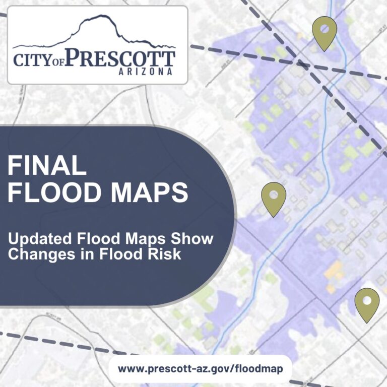
On July 31, 2024, final flood hazard maps, through a Letter of Map Revision, were issued for 9 linear miles within the City of Prescott. The flood maps, known as Flood Insurance Rate Maps (FIRMs), show the extent to which areas are at risk of flooding. Flood maps help residents and business owners better understand their risk of flooding. They also help guide building and flood insurance decisions.
The City developed these flood maps in partnership with FEMA. The process used the best available data and included state-of-the-art aerial mapping and flood risk modeling techniques. It went through a comprehensive pre-release technical review. A public meeting was held in early April for property owners to view the map and ask questions. This was followed by a 90-day public comment period to allow property owners to file appeals or make comments. None were received.


Information about the mapping project and the link to the flood map viewer can be found at https://prescott-az.gov/floodmap/. Property owners are encouraged to look up their property to see if it is in the remapped area, and if so, how it is affected. Changes in flood risk can mean changes in building and flood insurance requirements.
To help property owners know if their flood risk has changed, the City is sending postcards to affected property owners. These are targeted to be mailed the week of August 5th. They will be notified if their building is newly identified to be in a high-risk area (e.g., Zone AE), or if it is no longer in a high-risk area, but instead in a moderate-low risk area (e.g., Zone X).
If at any time a property owner disagrees with the existing flood maps, they can submit to FEMA a Letter of Map Amendment (LOMA). More details about LOMAs can be found at www.fema.gov/flood-maps/change-your-flood-zone/loma-lomr-f.
Individuals with general questions about the flood map update project can call the City at (928) 777-1130 during business hours or email FloodplainAdministrationGroup@prescott-az.gov. For information about flood insurance, contact your local insurance agent or visit www.FloodSmart.gov.
How useful was this article ?


Click on a star to rate it!


5 thoughts on “City of Prescott Issues Final Flood Maps – Updated Flood Maps Show Changes in Flood Risk”
About 10 years ago a friend living in Prescott Valley off Lakeshore East of Navajo called me in a panic. She received a letter saying she was in a flood plane and it required her to buy federally insured insurance. I think this went away but this matter is now back. I hope someone in Yavapai County challenges this computer generated study that places an additional costly burden on people. In my 21 years here I have seen two Julys when I had water damage but there was no flood where this woman lived.
City of Prescott has not updated their zoning map since 2018. What are we paying taxes for?
I hired a surveyor to get an elevation certificate to prove that my house is NOT in a flood zone although the city says it is.
Where is a map showing flood zones that you are referring to? It’s not “too bright” to make this kind of (alarming!) notice, but no map!
The map is here: https://experience.arcgis.com/experience/03f5cb7e1885494f918cb2cf94d70f8c/
Comments are closed.